


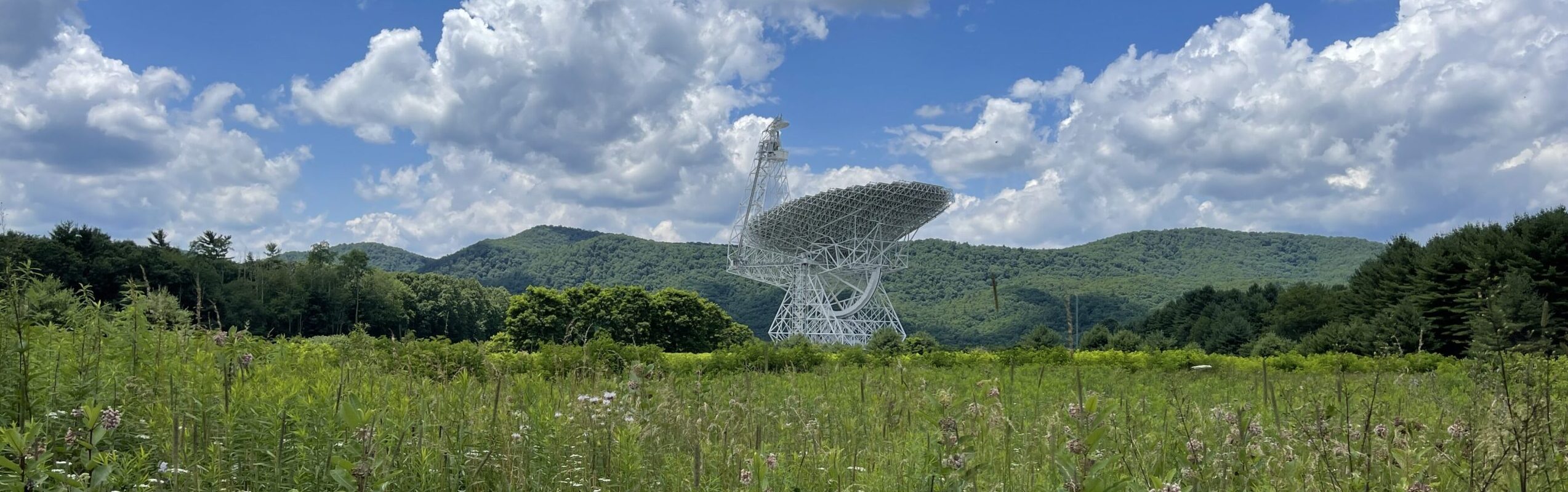
Some people think getting here is half the fun! We guarantee a scenic ride.
Green Bank Observatory is located in Pocahontas County, West Virginia in the heart of the National Radio Quiet Zone. There is no cell service here! We highly recommend downloading a map to your phone, printing your directions to bring with you, and/or having an atlas or paper map.
Please note:
- Do no rely solely on a mobile device as you may lose signal or be routed over some interesting “back country” roads!
- Please watch for and observe the posted speed limits when passing through small towns.
- Please turn off any wireless devices that are not medically essential when you arrive to help us minimize radio signals that interfere with our telescopes!
Electric Vehicle charging stations (Level 1) are available! Passes are $3/day. Please enquire in the Galaxy Gift Shop at the Science Center. See our Hours and Admissions page for Science Center hours.
Things to Do, Places to Stay
We are surrounded by the Monongahela National Forest. There is much to explore in our region! Find places to stay, eat, and more with the Pocahontas County Visitors Bureau.
Location
The Observatory address is 155 Observatory Rd, Green Bank, WV 24944. (Please note our USPS mailing address is PO Box 2, Green Bank, WV 24944)
Find us on:

Directions from Local airports
From Pittsburgh
International Airport (PIT) [217 miles, 4hr]
- Take Airport Blvd, then follow directions to I-376 E towards Pittsburgh
- At exit 64A, take I-79 S toward Washington
- Take left ramp for I-79 S / I-70 E toward Morgantown / New Stanton
- At exit 21, take right ramp for I-79 S toward Morgantown
- Take I-79 S
- Exit on RT 33 East towards Elkins
- Turn right to take RT 92 S through Elkins
- Continue through Elkins on RT 92 S/250 E
- Stay on RT 92 S to the Observatory
From Charlottesville/Albemarle Airport (CHO) [123 miles, 2hr 30min]
- Depart Airport via Airport Road
- Turn right to take VA-29 S / Seminole Trail
- Follow signs for 29 or 29 Bypass towards I-64
- Take I-64 W toward Staunton
- I-64 W to I-81S/I-64W
- Take exit 220 for the 262 bypass around Staunton
- Take Churchville exit to 250 W and follow 250 W into West Virginia
- Stay on 250 W connecting with 28 S
- Turn left on 92 S/28 S to the Green Bank Observatory
From Washington Dulles (IAD) [192 miles, 3hr 45min]
- Take Dulles Airport Access Rd to exit airport
- Take ramp right for VA-28 S toward Centreville/Manassas
- Take ramp right for I-66 W toward Front Royal
- Take I-66 W, and at exit 1A, take ramp left for I-81 S toward Roanoke
- Take Exit 296 for US-48 W towards Wardensville
- Stay on 48 W from Wardensville to Moorefield
- Take the WV-55 ramp to US-220 in Moorefield
- Turn left onto US-220 S
- Take 220 S from Moorefield to Petersburg
- Turn right onto WV-28 S in Petersburg
- Follow 28 S through Seneca Rocks
- Turn left on 92 S/28 S to the Green Bank Observatory